Indicator unit: The belowground biomass carbon (BBC) is expressed in Mg (megagrams or tonnes) of carbon per km2 . It represents an estimation of the carbon stored in the roots of all living trees. This carbon pool is calculated as a fraction of the aboveground biomass carbon stock using root-to-shoot ratios (R). It is derived from two main data sources: the global aboveground biomass map produced by the GlobBiomass project (globbiomass.org) and the 2019 Refinement to the 2006 IPCC Guidelines for National Greenhouse Gas Inventories (IPCC, 2019).
Area of interest: The BBCI has been calculated at the country level, terrestrial ecoregion level and for all protected areas and is provided for each country and each terrestrial and coastal protected area of size ≥ 1 km2.
Policy question: There are two main policy questions to which BBCI is relevant:
- How do protected areas contribute, through the conservation of vegetation resources, to the health and productivity of the ecosystems and to the sustainability of the local communities that depend on these ecosystem services derived from them? Tree-root systems provide various ecosystem services that improve soil conditions and prevent soil degradation.
- How do protected areas contribute to carbon storage and hence to offset the impacts of fossil fuel emissions and to climate change mitigation? Forests represent one of the largest terrestrial organic carbon reservoirs, and significantly contribute to the regulation of the global carbon cycle. Root biomass represents a stable and relatively inaccessible carbon stock, mainly affected by the removal of the canopy. Protected areas may contribute to biomass and carbon retention and hence to the reduction of net emissions of greenhouse gasses responsible for climate change.
---
Data Uploaded by Luca Battistella using the Digital Observatory for Protected Areas Services (2022)
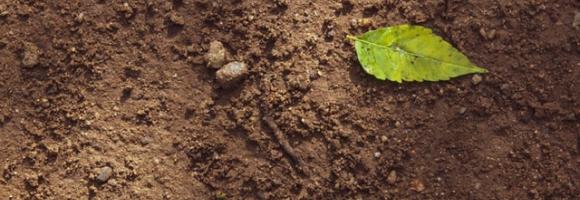
Belowground Biomass Carbon Indicator (BBCI)
The BBCI provides an estimation of the amount of carbon stocks in tree roots. Together with the AGCI and SOCI, it provides a complete overview of the total carbon stored in forest areas (trees and soil). Roots are a long term and stable carbon sink, accounting for about 0.2 - 0.4 of the above ground biomass across biogeographical regions(Reich et al., 2014) of the total tree biomass. Moreover, well stablished and developed root systems provide various ecosystem services related to improved soil quality (higher cation exchange capacity and nutrient turnaround) and soil characteristics (improved aeration, soil porosity) as well as several soil-water-atmosphere interactions. As a derived dataset, the BBCI inherits some of the characteristics from the original data, such as the spatial (100 m) and temporal (year 2017) resolution. In addition, water bodies, urban areas, permanent snow/ice and bare area land cover classes (Land Cover CCI, 2017) are masked.
Below ground carbon
Belowground Biomass Carbon Indicator (BBCI)
The BBCI provides an estimation of the amount of carbon stocks in tree roots. Together with the AGCI and SOCI, it provides a complete overview of the total carbon stored in forest areas (trees and soil). Roots are a long term and stable carbon sink, accounting for about 0.2 - 0.4 of the above ground biomass across biogeographical regions(Reich et al., 2014) of the total tree biomass. Moreover, well stablished and developed root systems provide various ecosystem services related to improved soil quality (higher cation exchange capacity and nutrient turnaround) and soil characteristics (improved aeration, soil porosity) as well as several soil-water-atmosphere interactions. As a derived dataset, the BBCI inherits some of the characteristics from the original data, such as the spatial (100 m) and temporal (year 2017) resolution. In addition, water bodies, urban areas, permanent snow/ice and bare area land cover classes (Land Cover CCI, 2017) are masked.